
Cameron Peak Post-Fire Mitigation Project
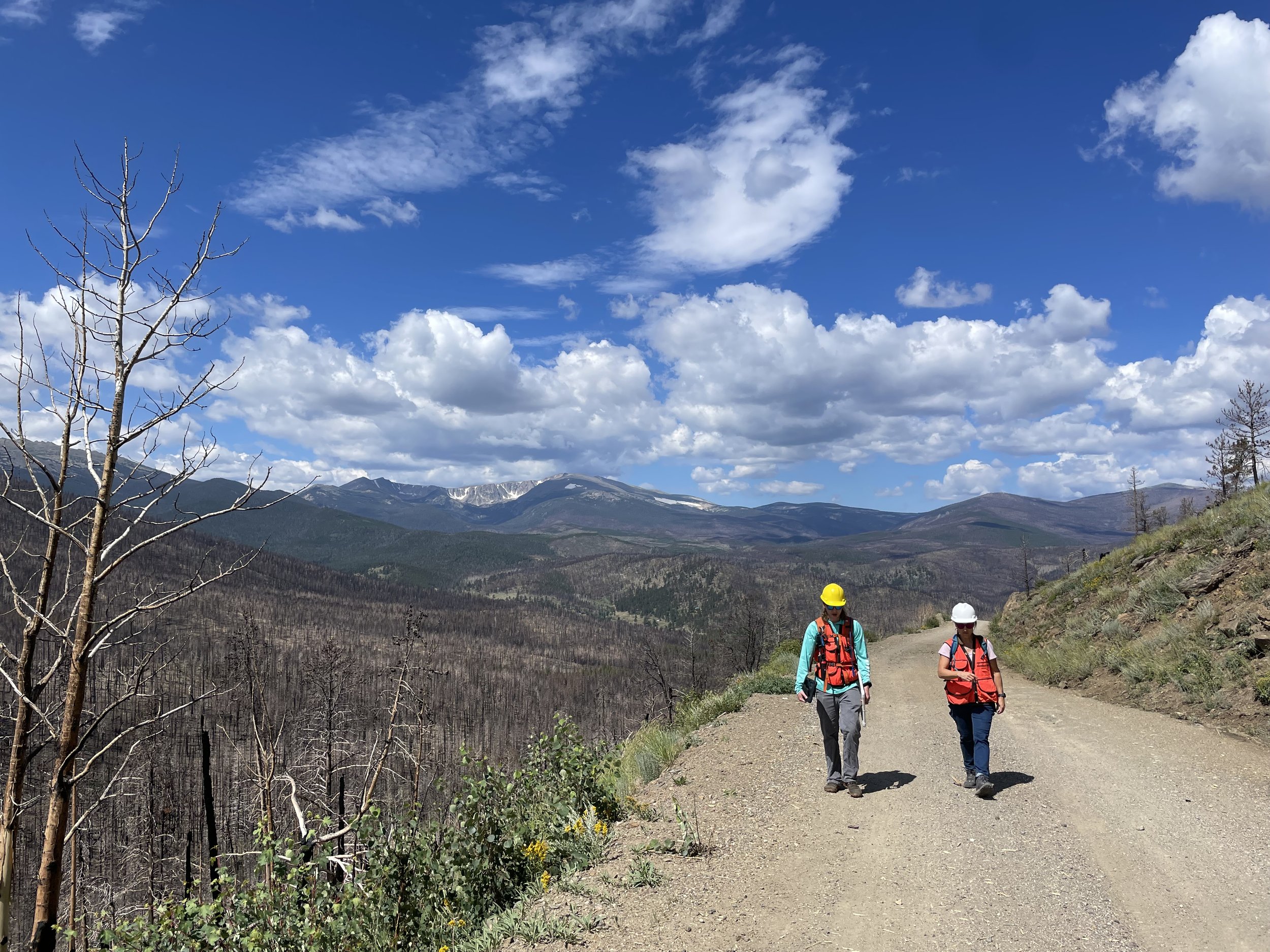
Photo: Cory Dick
Project Summary
2021 - Present
The largest recorded wildfire in Colorado’s history.
The Cameron Peak Fire burned 208,913 acres in Larimer County in Northern Colorado between August and October 2020. Drought conditions in the summer and fall of 2020 in Colorado also led to the 2nd and 3rd largest wildfires in Colorado History. The conditions were summarized in the US Forest Service Burned Area Emergency Response (BAER) as follows.
“On the Cameron Peak Fire, extreme temperatures, low humidity, rough terrain and gusty winds reaching over 70 miles per hour contributed to extreme fire behavior and rapid rates of spread. Another contributing factor to fire growth was the large amount of beetle kill trees and the drought-stricken Ponderosa Pine, Engelmann Spruce and mixed conifer stands available as fuel.”
The Cameron Peak Fire burned primarily on USDA Forest Service land within the Arapaho and Roosevelt National Forests. However, the fire also burned a large area of private land and additional federal land within Rocky Mountain National Park.
To date, 9,244 acres have been mulched (public and private lands).
Maps documenting Zones of Concern/Ownership, Hazards, and Treatments are shown below.
Partners
Coalition for the Poudre River Watershed
City of Greeley
City of Fort Collins
Big Thompson Watershed Coalition
Larminer County
City of Loveland
Private landowners
US Forest Service
Natural Resource Conservation Service (NRCS)
Project Actions
Mitigate consequences of the Cameron Peak Fire on high-priority watershed values in the Cache la Poudre and Big Thompson Watersheds
Identify high priority areas for post-fire treatments and create maps to highlight these areas
Application and management of post-fire mitigation treatments, including:
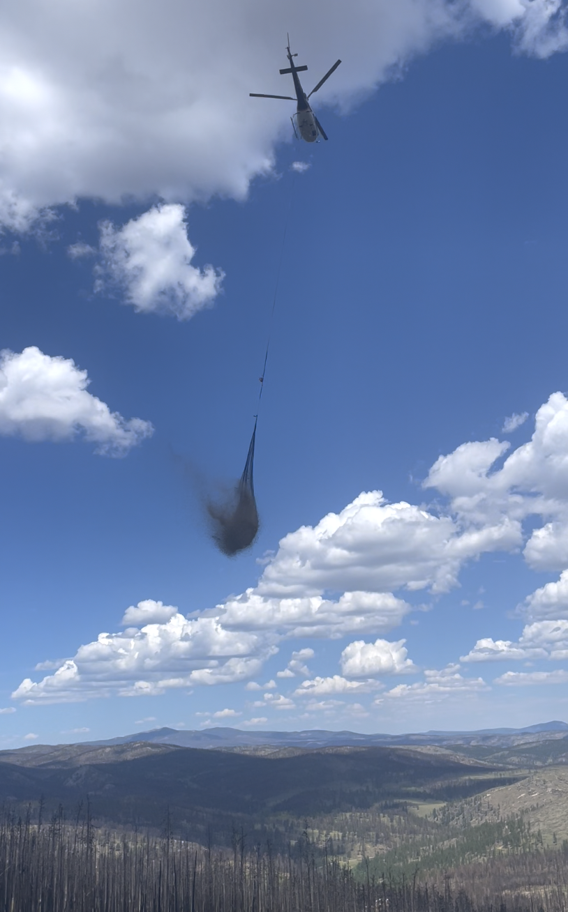
Aerial wood mulch
Assessment of post-wildfire watershed health
Organization and coordination of various collaborating stakeholders on this project
Post-treatment assessment, monitoring, and reporting of efficacy of mitigation treatments
Benefits
Protect critical water supplies and natural resources in the Cache la Poudre and Big Thompson River Watersheds
Prioritize areas for treatment in a severely burned, post-wildfire landscape at the 7th level watershed scale
Mitigate negative effects of wildfire with hillslope stabilizing and aerial mulching efforts
Protect river ecosystem functions and health
Implement post-fire mitigation treatments to protect hillslopes, improve stream health, and maintain a consistent high quality water supply
Post-fire Aerial Mulching Treatment

JW Associates has utilized arial wood mulch treatments in multiple wildfires across Colorado, including the High Park Fire (2012). Since then, JW Associates has fine-tuned the procedures and implemented a rigorous protocol for verifying the specific areas to be treated, and inspecting the treatment post-mulching to ensure efficacy. The procedure is outlined below:
Stakeholder Collaboration
Identify Zones of Concern + Mitigation Treatments
Perform Watershed Hazard Analysis
Field verification of treatment areas
Treat areas of highest hazard or concern
Field inspection of treated areas
Post-mitigation Project Report
Ongoing monitoring of the efficacy of wood mulch treatments to prevent hillslope erosion


Overview of Treated Areas
Post-fire Composite Hazard Ranking Map with mulched areas
The Post-fire Composite Hazard Ranking combines four components (Soil Burn Severity, Hillslope Erosion, Debris Flow Hazard and Composite Roads Hazards) by numerically combining their rankings for each small watershed and then re-categorizing the results. The Post-fire Composite Hazard Ranking is used as the basis for targeting small watersheds for post-fire treatments.