East Troublesome Fire
Project Summary
2021 - Present
Partners
US Forest Service
Northern Water Conservancy District
Bureau of Land Management
Grand County
Private landowners
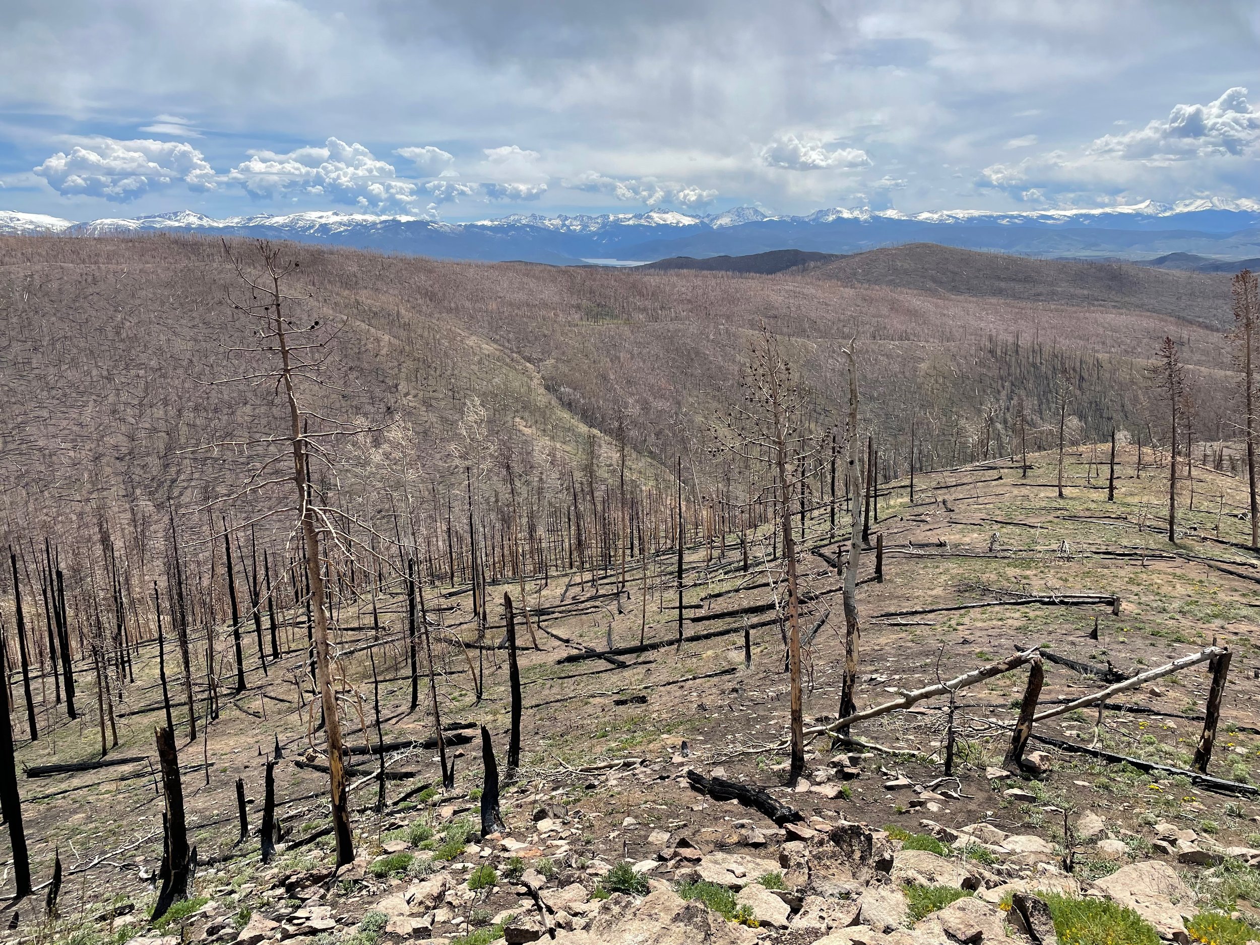
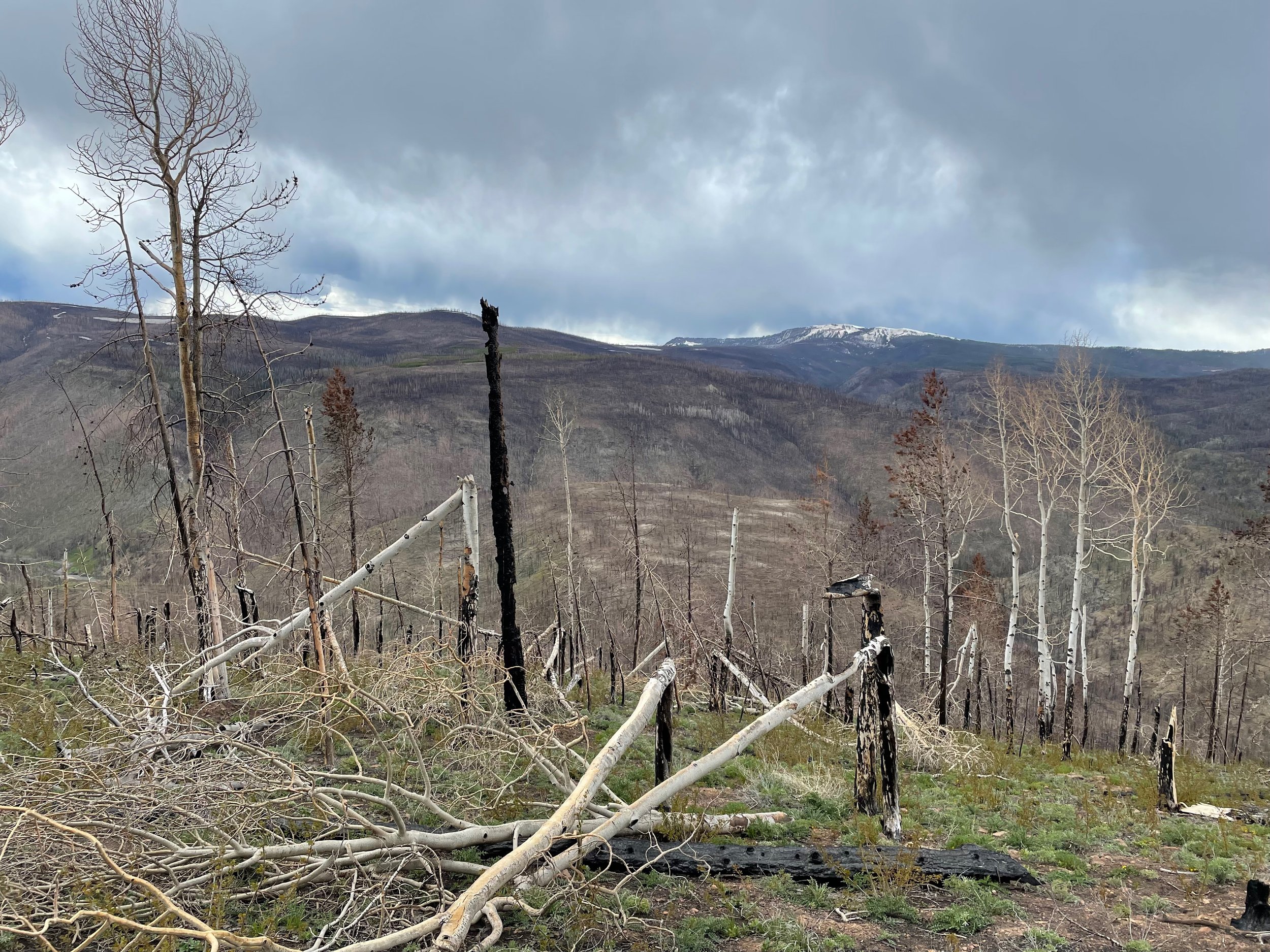
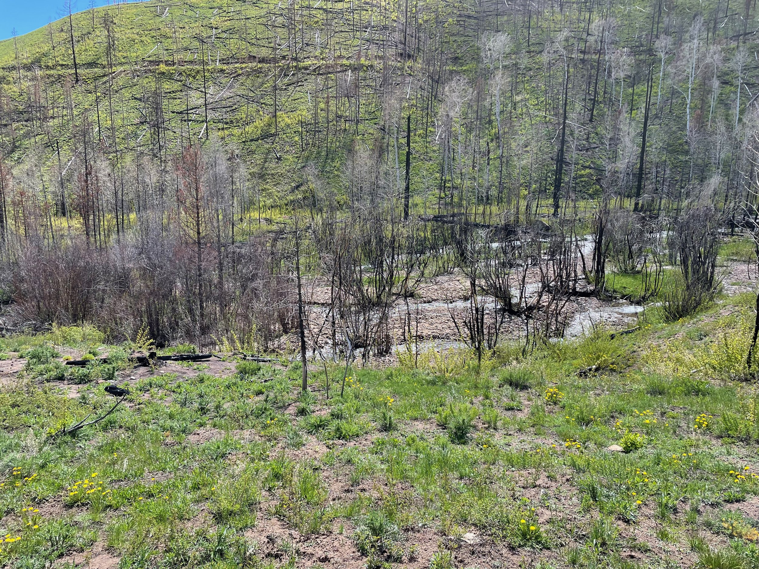
The third-largest wildfire in recorded Colorado History.
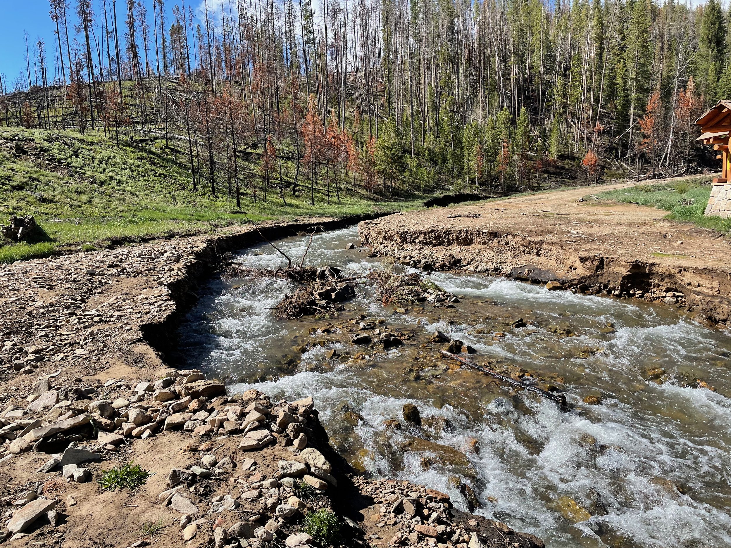
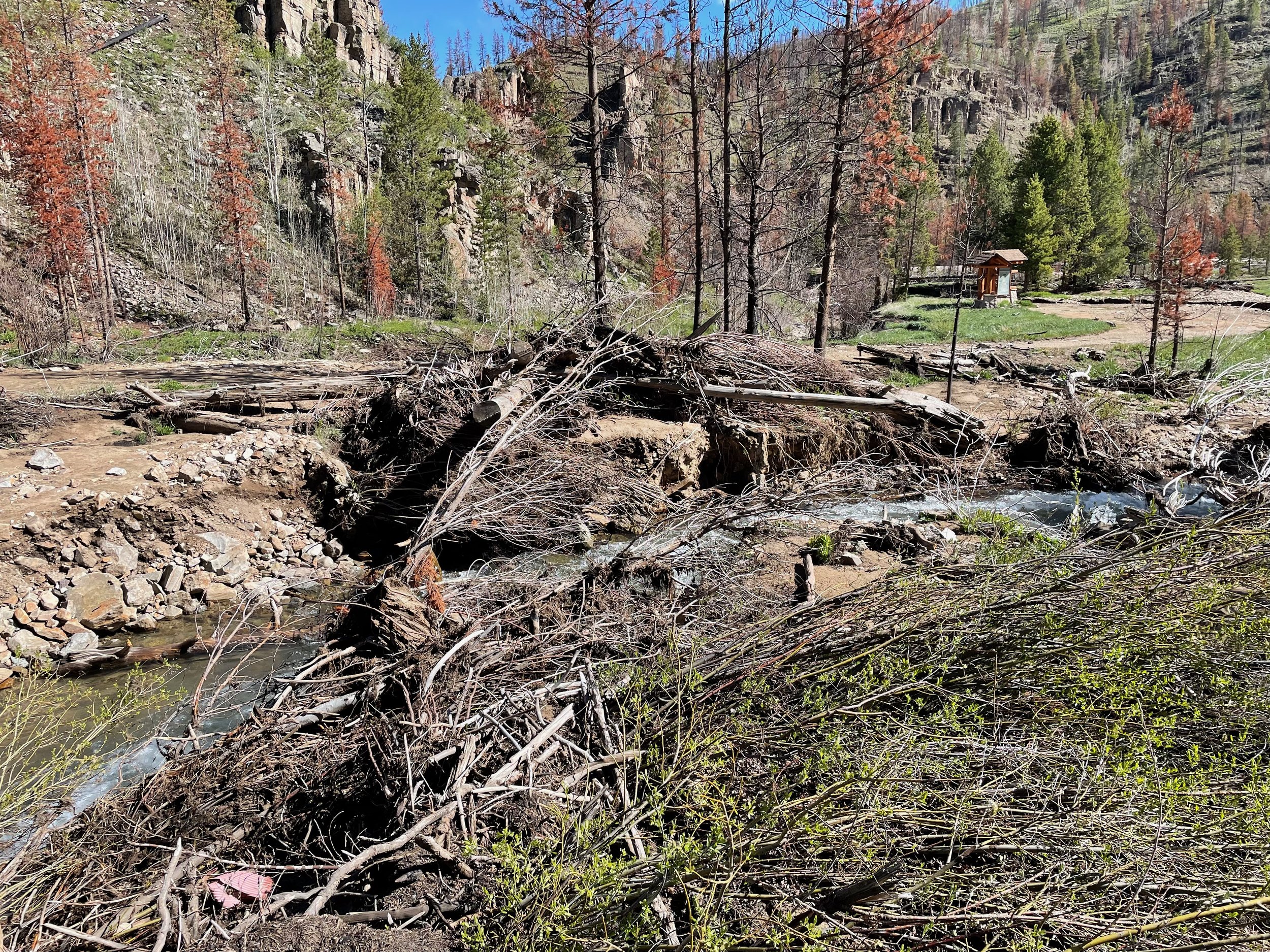
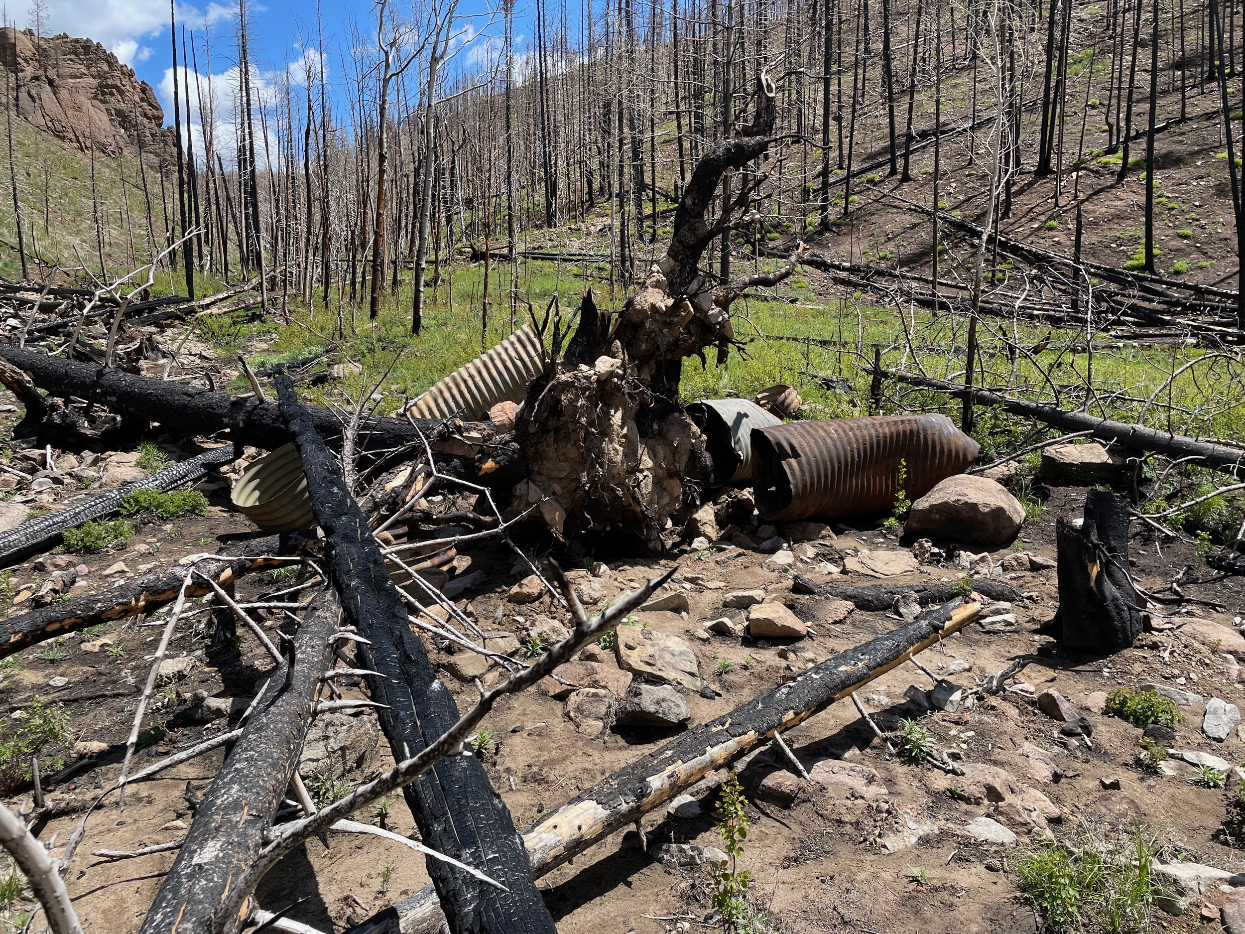
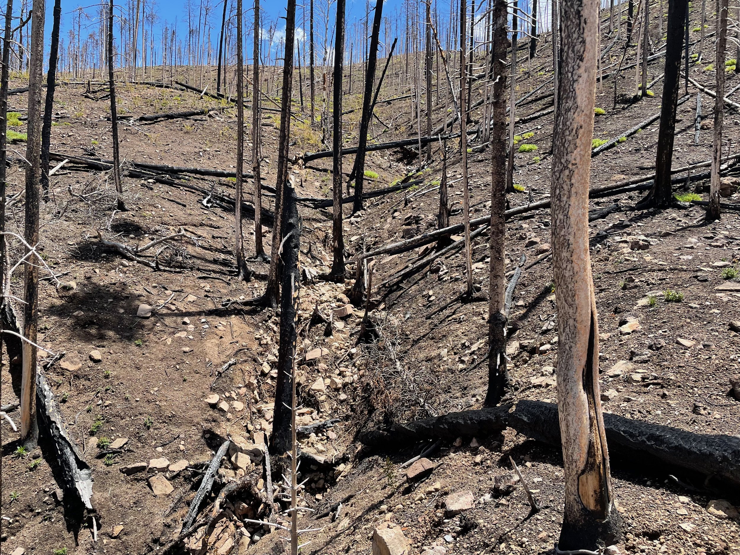
The East Troublesome Fire burned 193,812 acres in Grand, Jackson, and Larimer Counties in Northern Colorado in October 2020. Drought conditions in the summer and fall of 2020 in Colorado also led to the 1st and 3rd largest wildfires in Colorado History. The conditions were summarized in the US Forest Service Burned Area Emergency Response (BAER) as follows.
“The fire was fueled by wide-spread drought, numerous dead and down beetle-killed trees, red flag weather conditions created by high winds and dry conditions, and poor humidity recovery overnight. The combination of these factors led to unprecedented, wind-driven, active fire behavior with rapid spread during the overnight hours.
Between Oct. 20-23, the fire exploded from 18,550 acres to 187,964 acres. The fire crossed Highway 125 on the afternoon of Oct. 21 and spread eastward into the Rocky Mountain National Park on Oct. 22, crossing the Continental Divide and reaching the western edge of Estes Park on Oct. 23.”
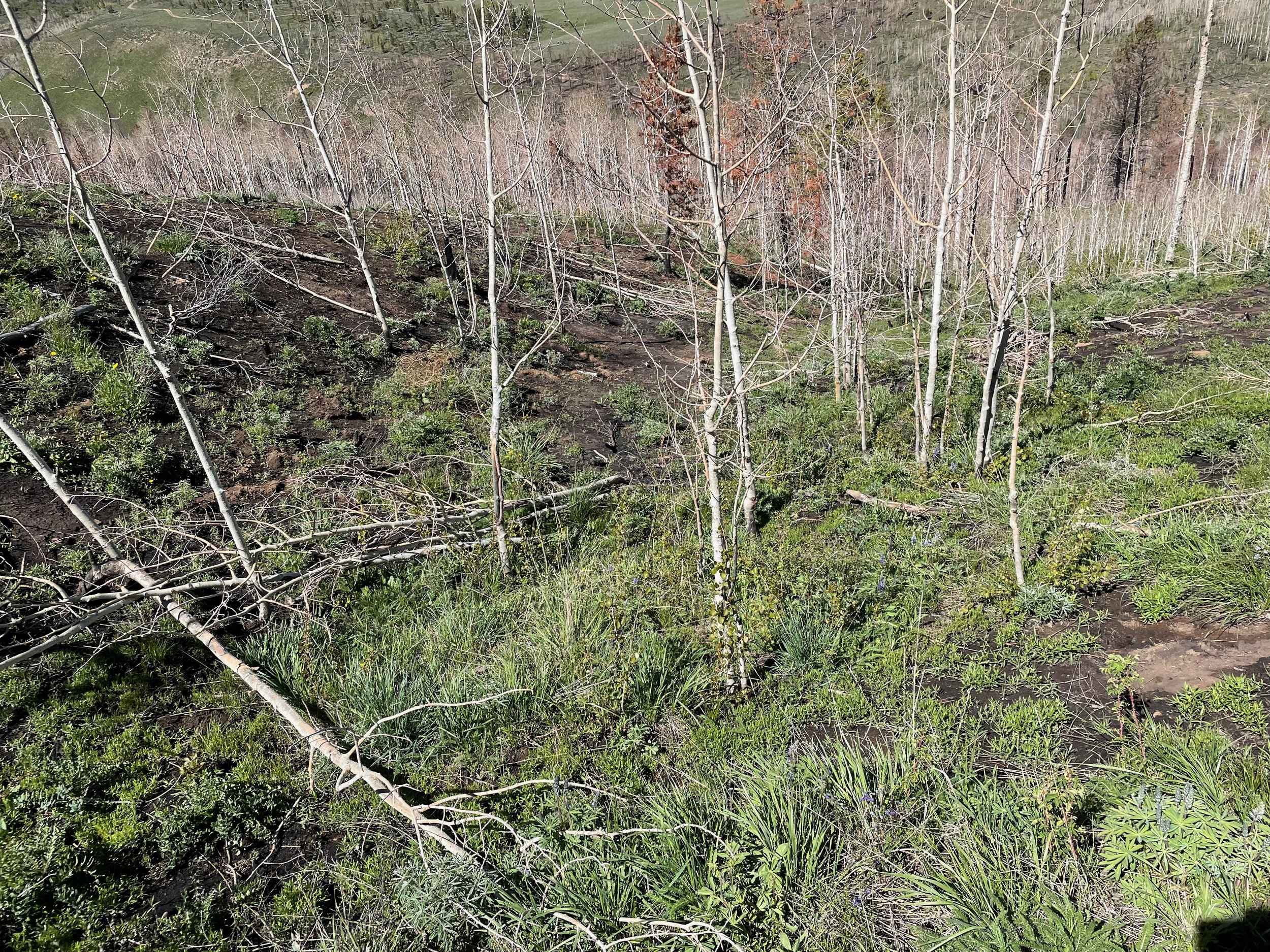
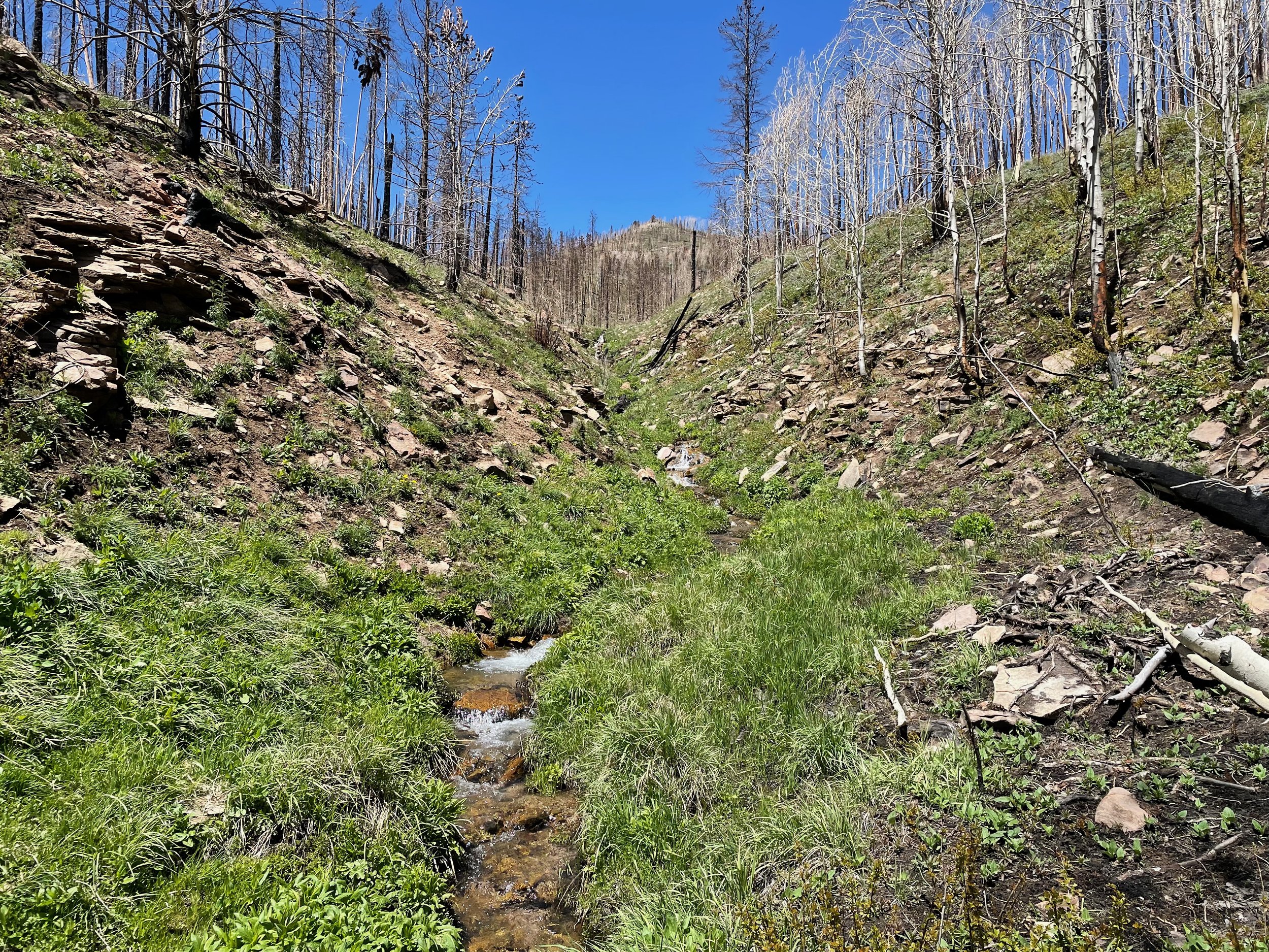
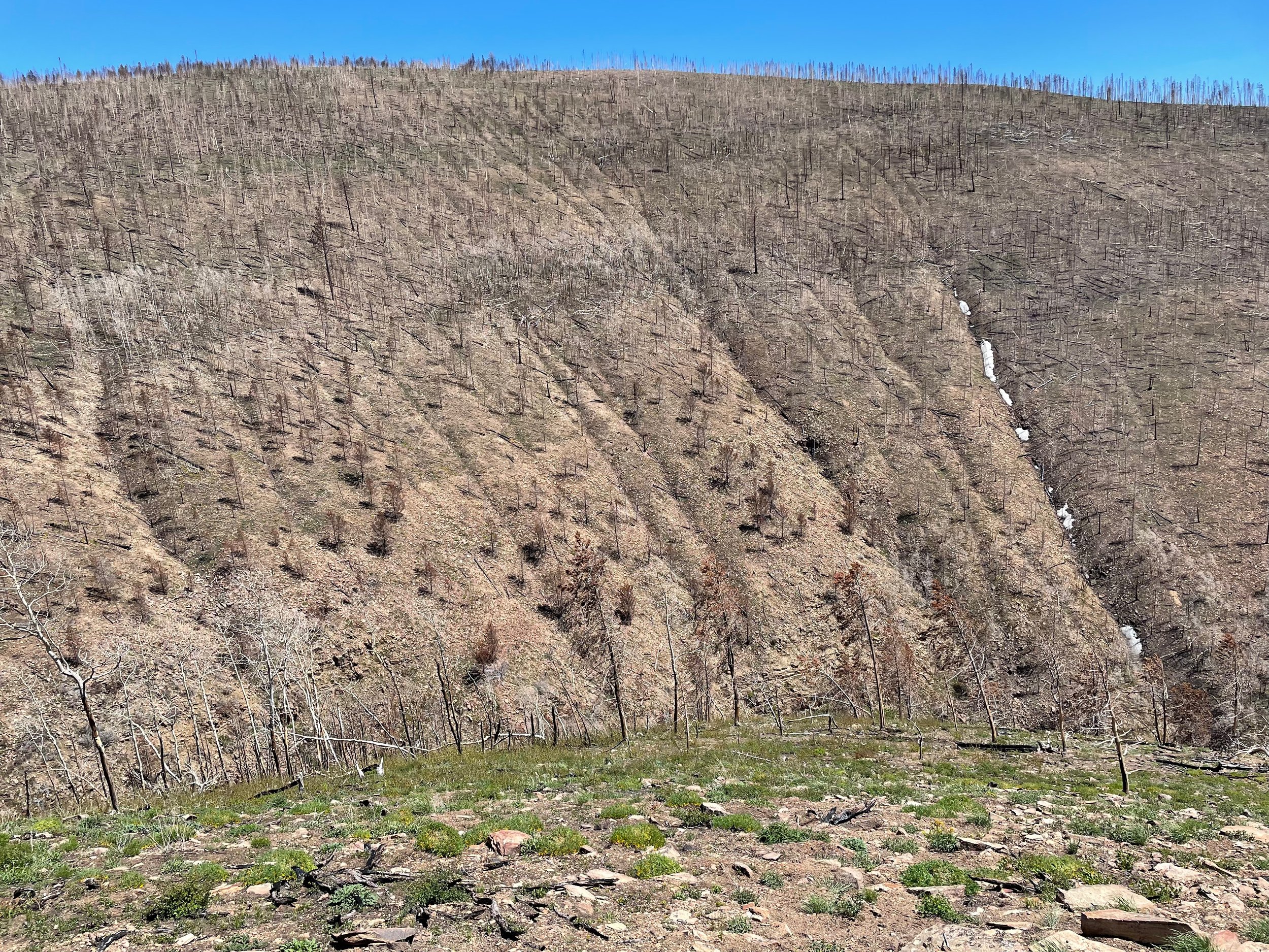
The East Troublesome Fire burned primarily on USDA Forest Service land within the Arapaho & Roosevelt National Forests. However, the fire also burned a large area of private land, and additional federal land within Rocky Mountain National Park and the Bureau of Land Management.
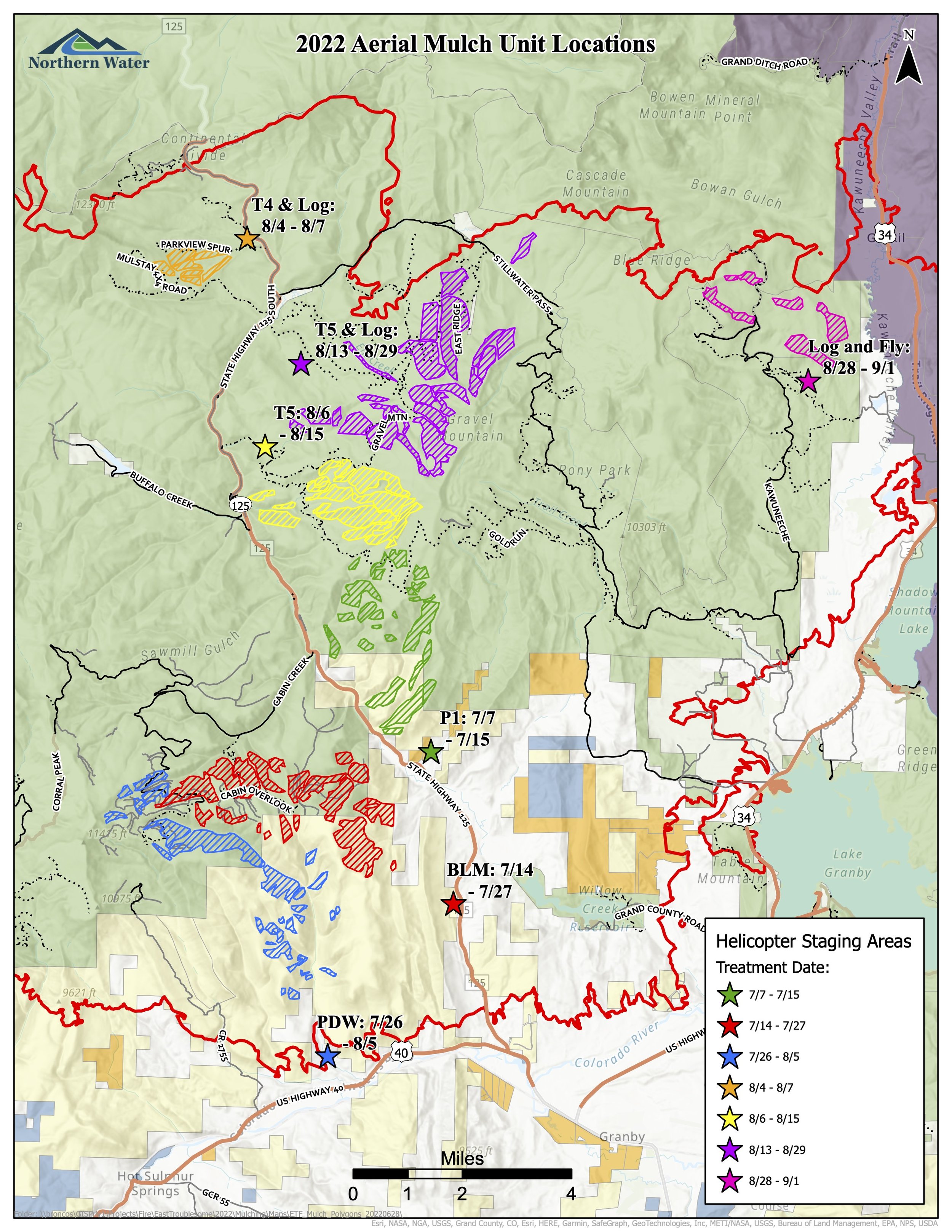
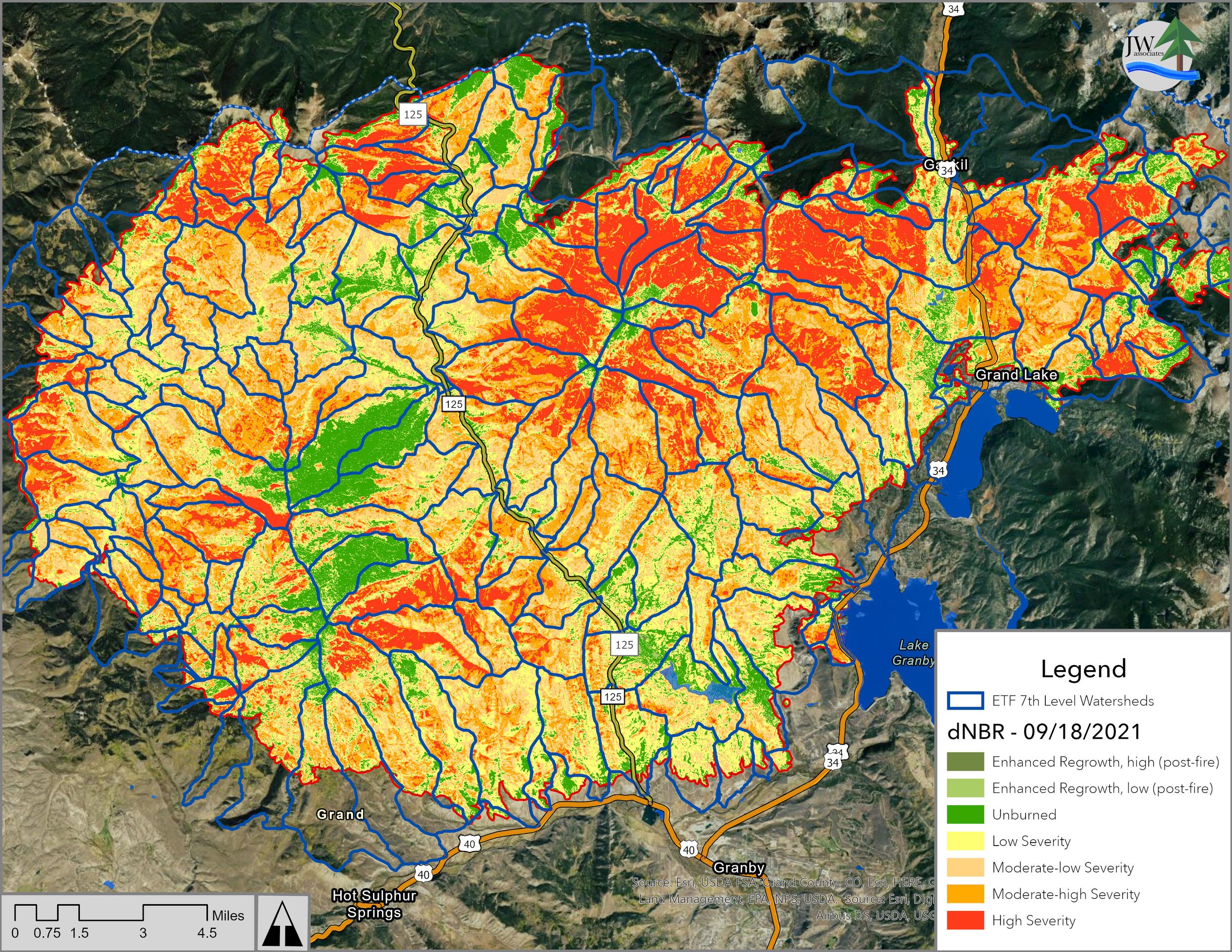
The maps below document the Zones of Concern, Hazards, and treatments for the East Troublesome Fire.
Project Actions
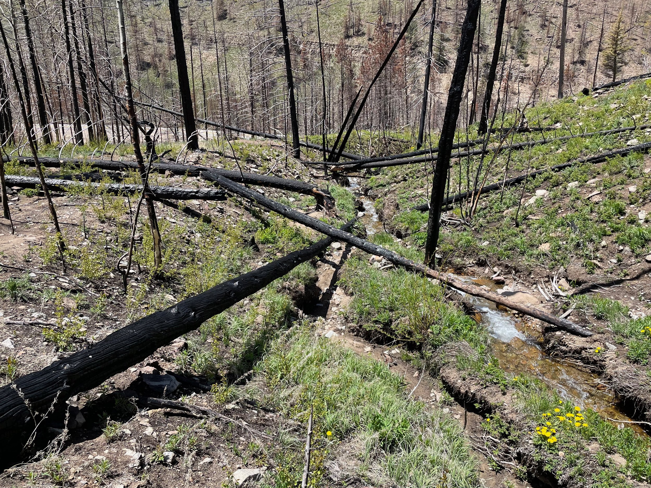
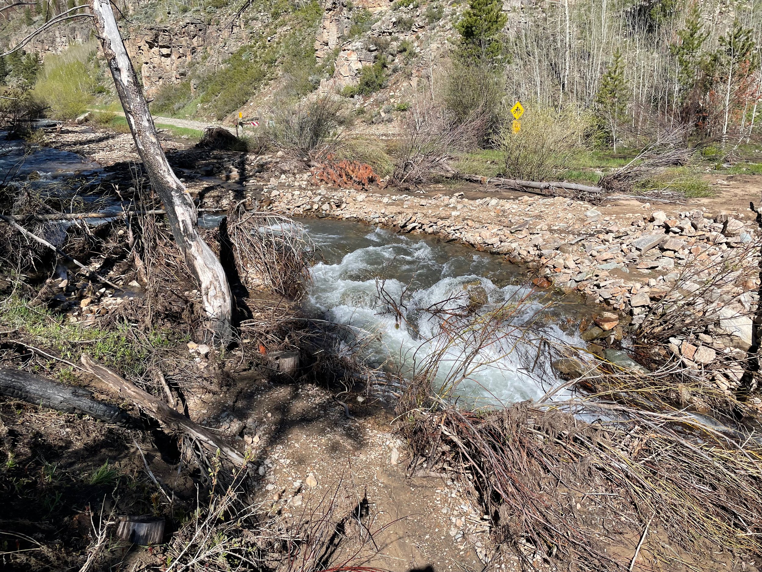
Mitigate consequences of the East Troublesome Fire on watershed values
Identify high priority areas for post-fire treatments and create maps to highlight these areas
Application and management of post-fire mitigation treatments, including aerial wood mulch
Assessment of post-wildfire ecological health
Organization and coordination of various collaborating stakeholders on this project
Post-treatment assessment, monitoring, and reporting of efficacy of mitigation treatments
Benefits
Protect critical water supplies and natural resources in the headwaters of the Colorado River
Prioritize areas for treatment in a severely burned, post-wildfire landscape at the 7th level watershed scale
Mitigate negative effects of wildfire with slope stabilizing aerial wood mulch treatments
Protect river ecosystem functions and health
Implement post-fire mitigation treatments to protect hillslopes, improve stream health, and maintain a consistent high quality water supply
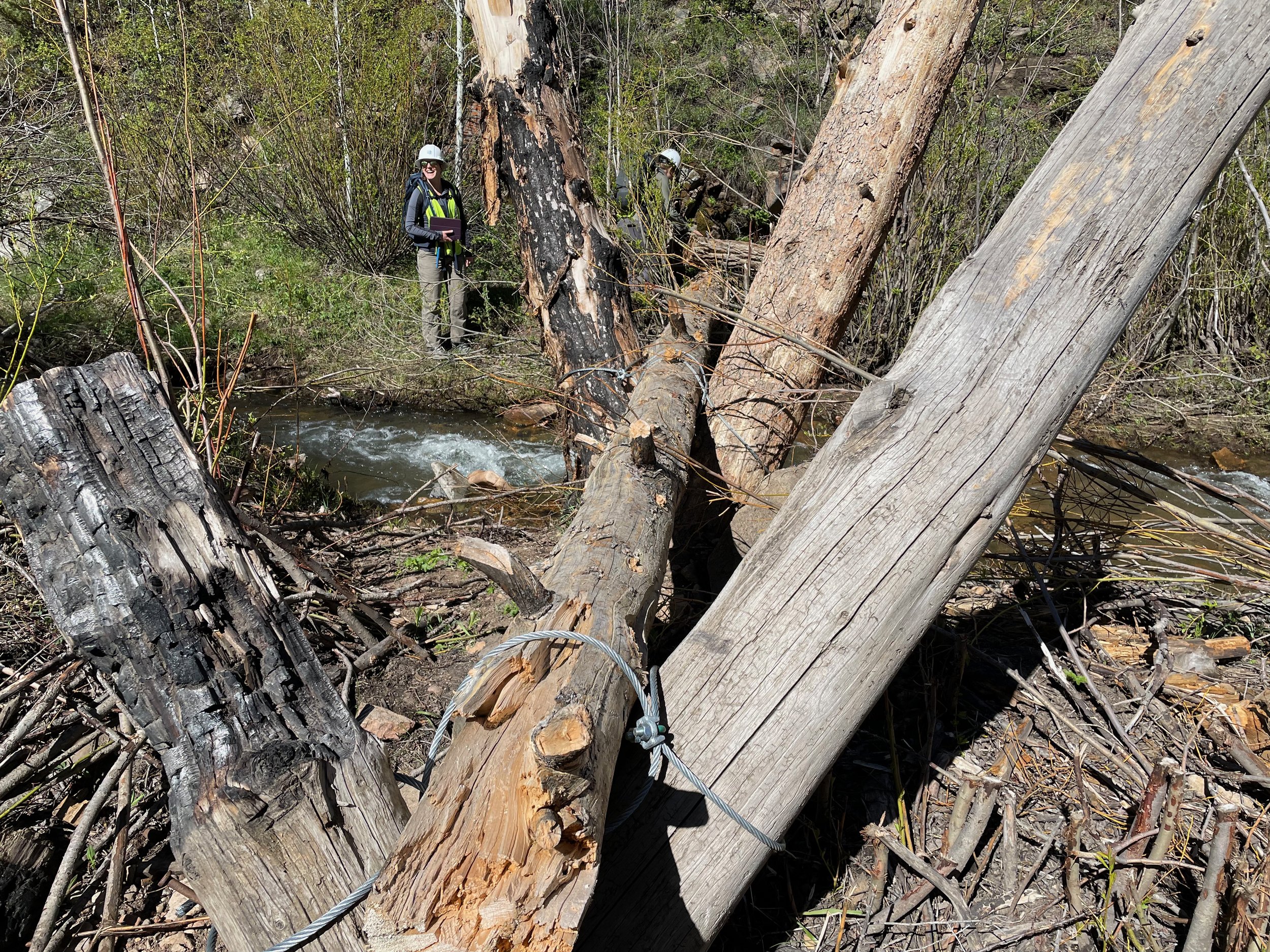
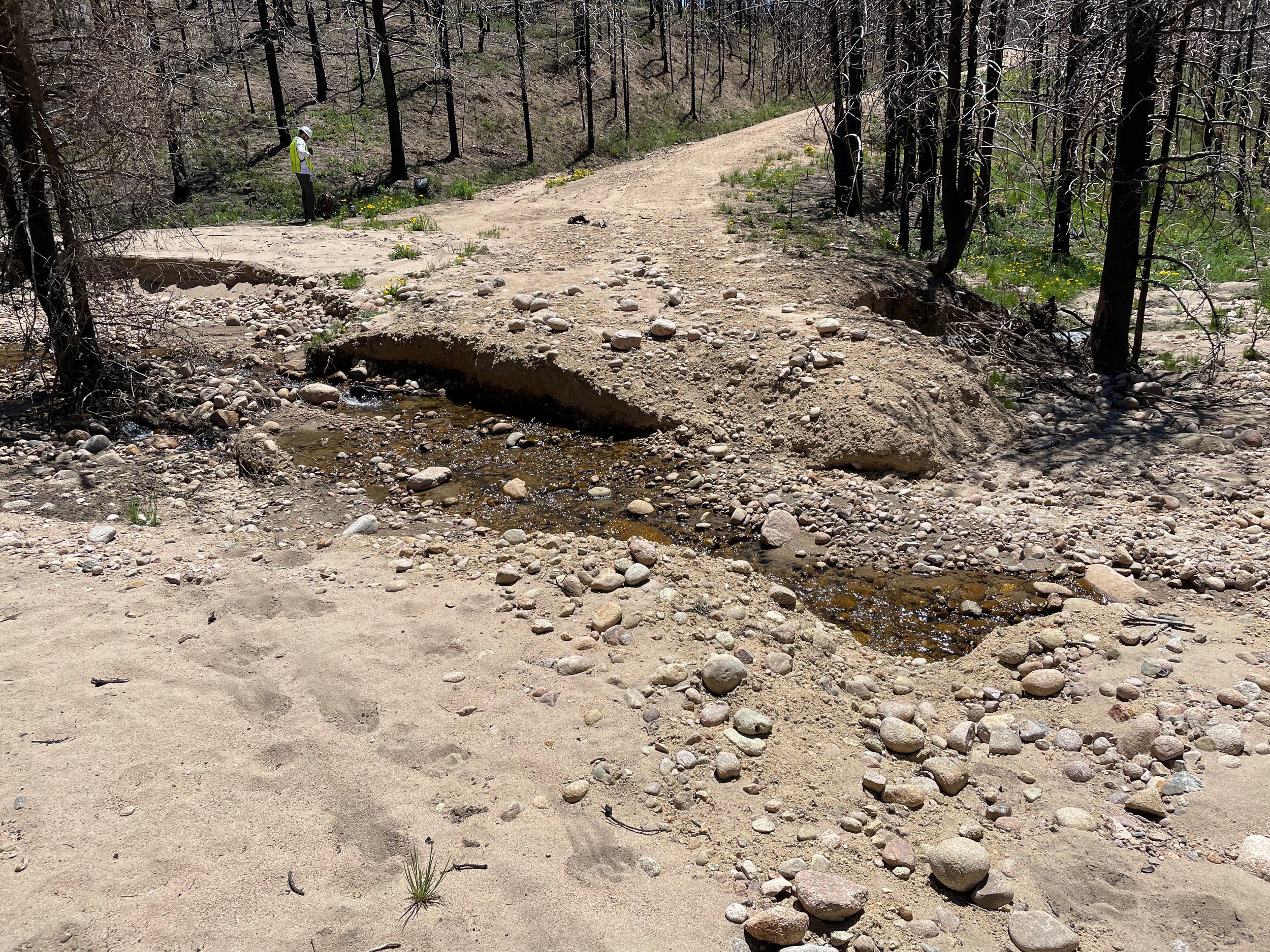
Post-fire Aerial Mulching Treatment
JW Associates has utilized arial wood mulch treatments in multiple wildfires across Colorado, including the High Park Fire (2012). Since then, JW Associates has fine-tuned the procedures and implemented a rigorous protocol for verifying the specific areas to be treated, and inspecting the treatment post-mulching to ensure efficacy. The procedure is outlined below:
Stakeholder Collaboration
Identify Zones of Concern + Mitigation Treatments
Perform Watershed Hazard Analysis
Field verification of treatment areas
Treat areas of highest hazard or concern
Field inspection of treated areas
Post-mitigation Project Report
Ongoing monitoring of the efficacy of wood mulch treatments to prevent hillslope erosion

Project Maps
The following maps depict the zones of concern identified in the prioritization process, land ownership, hazards, and treated areas for the East Troublesome Post-fire Aerial Mulching project. These maps are created using a rigorous process to identify the zones of concern and delineate appropriate areas to be treated in each 7th level watershed.