
Watershed Wildfire Hazard Assessments
Outcomes of Assessments
Identify present or potential hazards due to wildfires
Prioritize 6th level watersheds
Recommend measures to protect critical watersheds for community water supplies
Develop and Opportunities and Constraints Analysis, addressing potential next steps for watershed protection
Gather key stakeholders together and communicate suggested processes and build collaborative understanding and support of the assessment process
Benefits
Identify applicable post-fire treatments for future use
Develop and implement climate change-driven management strategies
Protect watersheds that provide or convey critical community water supplies from adverse effects of post-wildfire hydrologic changes, including:
Flooding
Erosion
Debris flows
Deposition
Completed Assessments
JW Associates has completed more the 15 watershed/wildfire hazard assessments.
Each assessment follows the procedure prescribed by the Colorado Watershed Protect Data Refinement Work Group, titled “Protecting Critical Watersheds in Colorado from Wildfire: A Technical Approach to Watershed Assessment and Prioritization”. See Watershed Wildfire Protection Group below for more information.
Road Erosion from Post-wildfire flooding
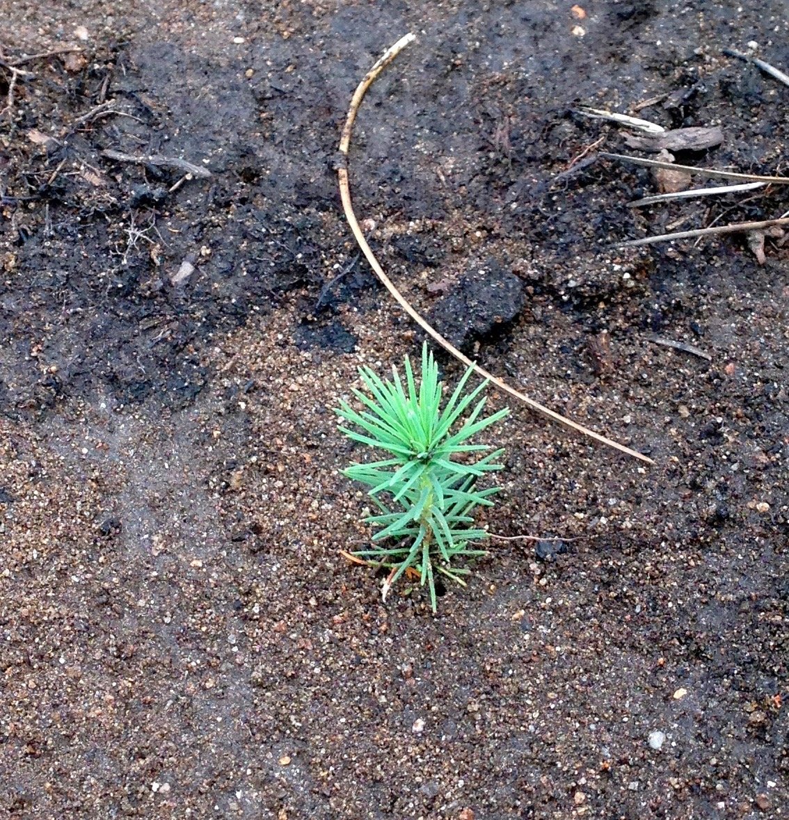
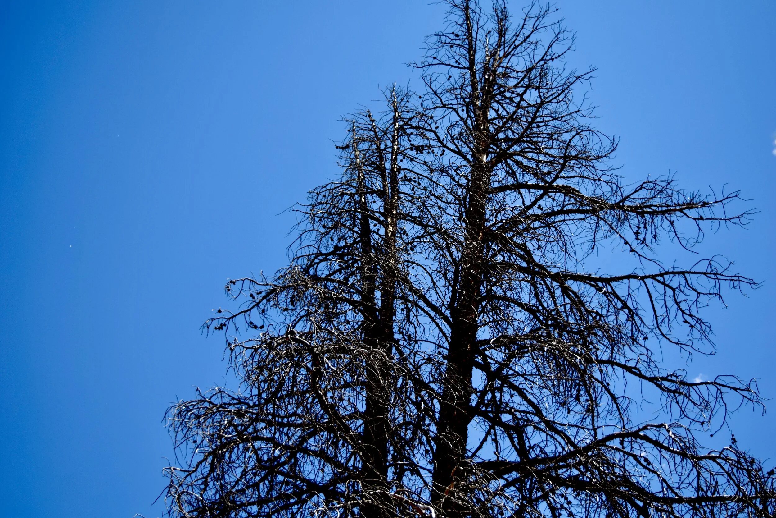
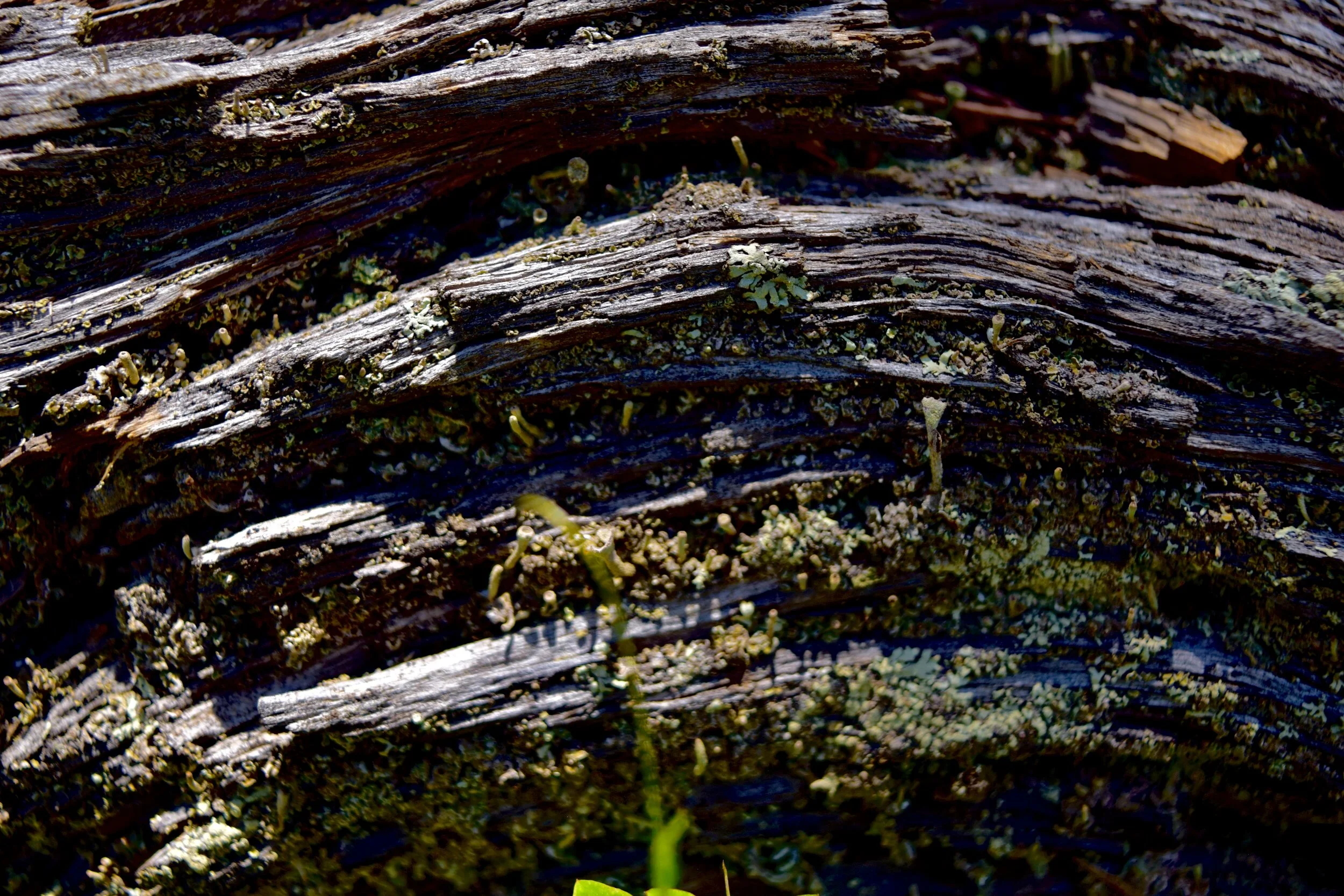
Baby Ponderosa Pine revelation in a post-wildfire landscape
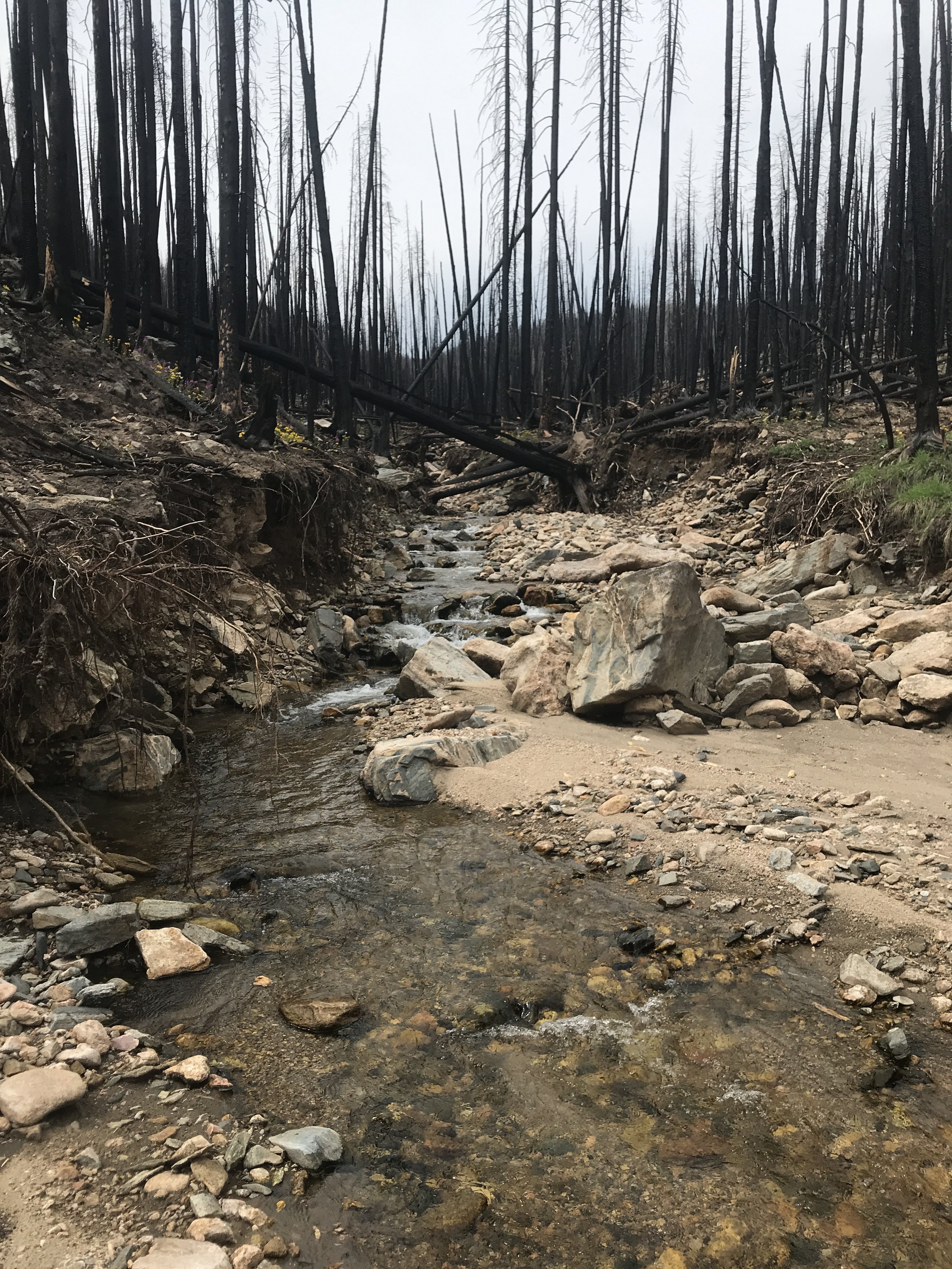
Post-wildfire erosion caused by flooding
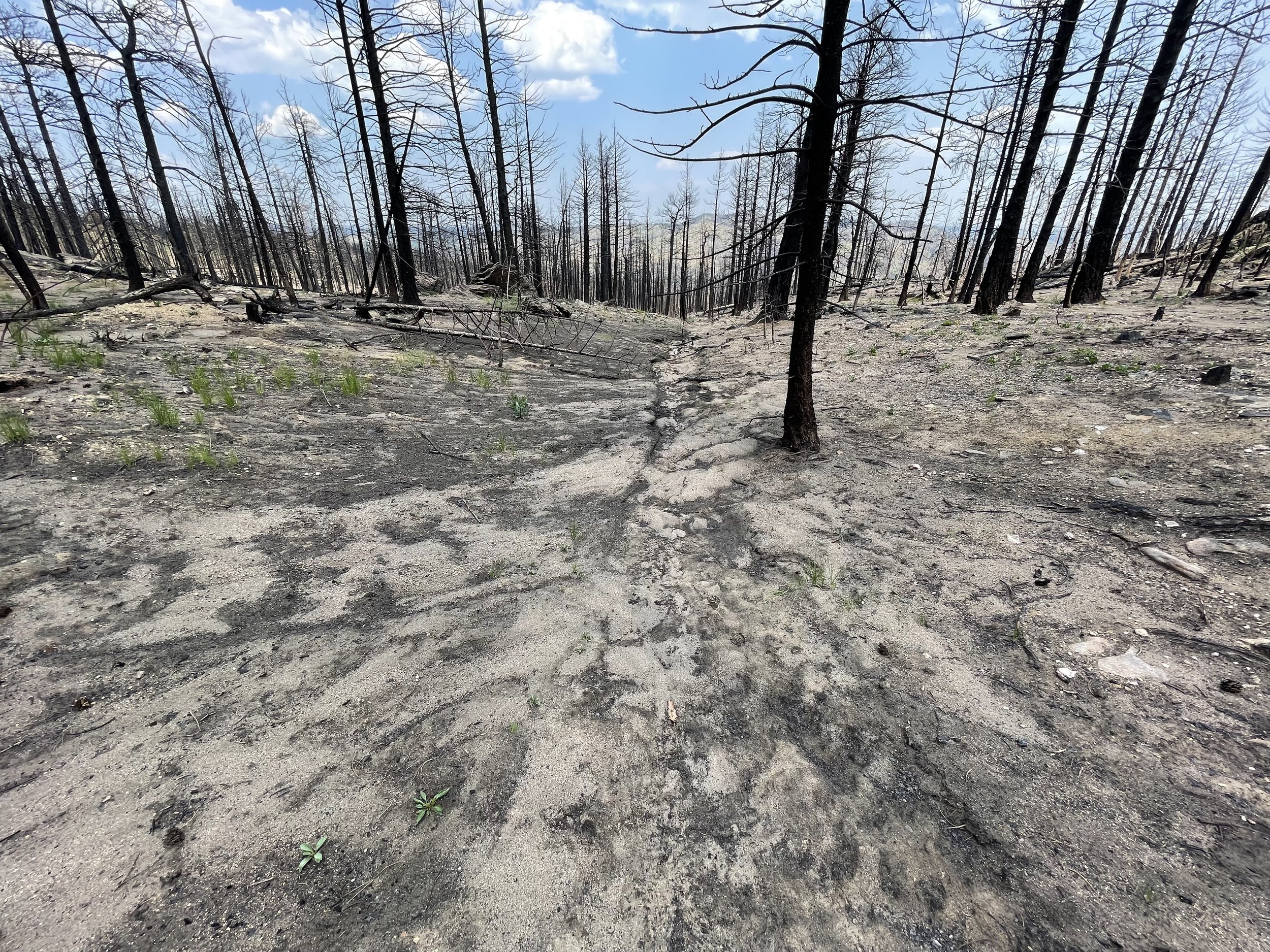
Sediment movement in a post-wildfire landscape
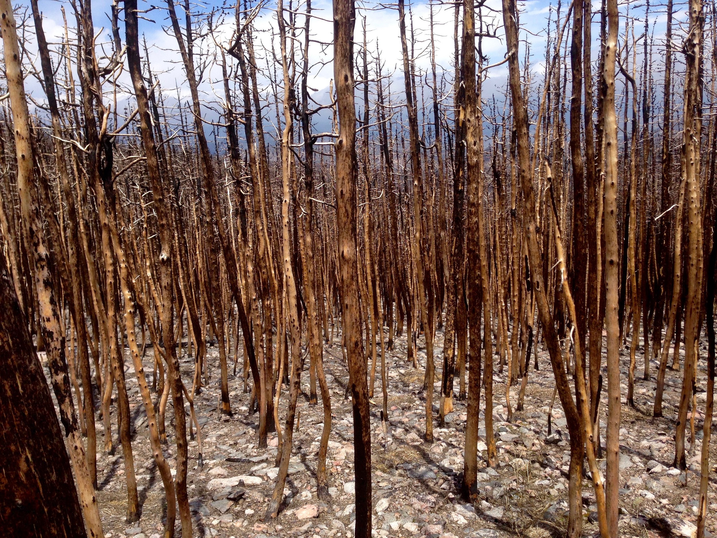
Dense ponderosa pine forest after the Cameron Peak Wildfire
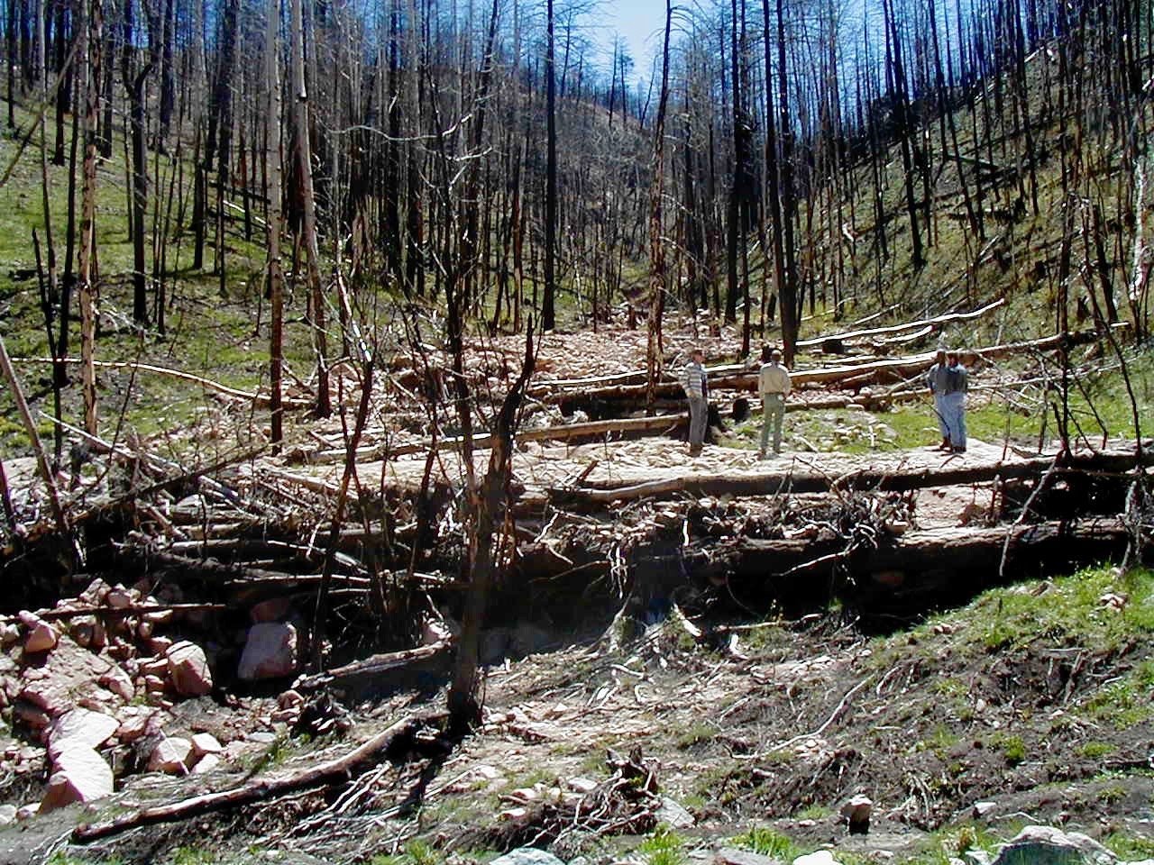
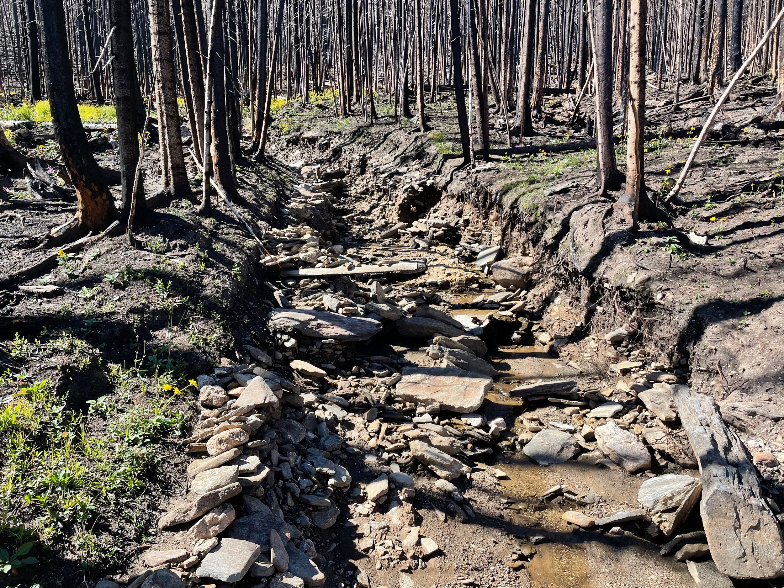
Debris flows and sediment capture in a post-wildfire landscape
Current and Past WW Assessment Projects
Bark Beetle Incident
We have completed 15 Phase 1 Watershed Assessments for the USDA Forest Service's Bark Beetle Incident (BBI) team in the Rocky Mountain Region including the Medicine Bow/Routt, Arapahoe/Roosevelt and portions of the White River National Forests in Colorado and Wyoming.

Watershed Wildfire Protection Group
The WWPG is a diverse group of watershed stakeholders including the major water providers in the Front Range, Federal and State land management agencies. JW Associates has implemented the WWPG watershed prioritization approach in 15 watersheds in Colorado and Wyoming.
Upper Cucharas River Watershed Pre-Fire Assessment & Treatment Identification
JW Associates completed a comprehensive pre-wildfire assessment of the Upper Cucharas River Watershed and the identification of watershed protection projects. Our work included a Small-scale Watershed Hazard Prioritization and Targeting.